2005 Hurricanes Katrina and Rita
Prior to 2020, the year 2005 held the record for the most Atlantic hurricanes and tropical storms. For the forests of the gulf-coast, two of the most impactful were Hurricane's Katrina and Rita that brought destruction to Louisiana, Mississippi, Alabama and Florida. Due to their community and forest impacts, these storms have been well-mapped and studied over the years. Given the limited availability of satellite imagery at the time, these storms are mapped at 30m using Landsat 5 imagery. For comparability, the same color scheme is used here as HiForm uses with its 10m Sentinel 2 change maps.
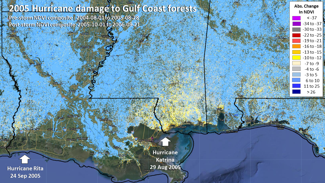


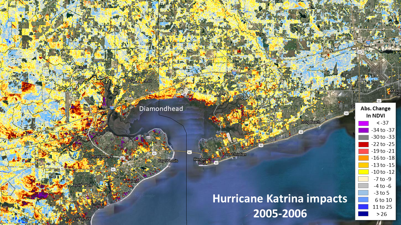
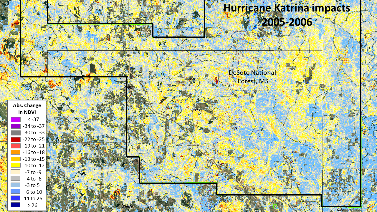
In HiForm, using a full-seasonal approach to NDVI change we get a standardized view of 2005 versus 2006 growing season impacts. These maps clearly show the two epicenters from these two storms, with Katrina passing over New Orleans in the West and Rita to the east near the AL-FL line. There are likely minor impacts from Hurricane Dennis (Jul 2005) that struck near the AL-FL line, which was also impacted heavily by Hurricane Ivan the prior year.
When multiple hurricanes occur in fast succession, it can be exceedingly difficult to isolate the impacts of a particular storm, as compounded potential ephemeral and real damage can be hard to isolate given the late-summer and fall season when these storms occur. Even establishing a baseline condition that is free of ephemeral impacts of prior storms can be challenging.