Rapidly evolving technologies are revolutionizing the way we monitor forests. These changes include the ability to monitor impacts from forest disturbances with higher spatial detail and frequency than ever before thanks to the availability of new satellites and cloud computing. Progress also depends on our ability to transfer this technology in ways that make sense to those who need it. With these applied needs in mind, this Forest Service Research and Development initiative is designed to demonstrate the forest monitoring that is rapidly evolving, to refine ways that these capabilities can be best adapted for managers, and to improve insights about eastern US forest dynamics, more fundamentally.
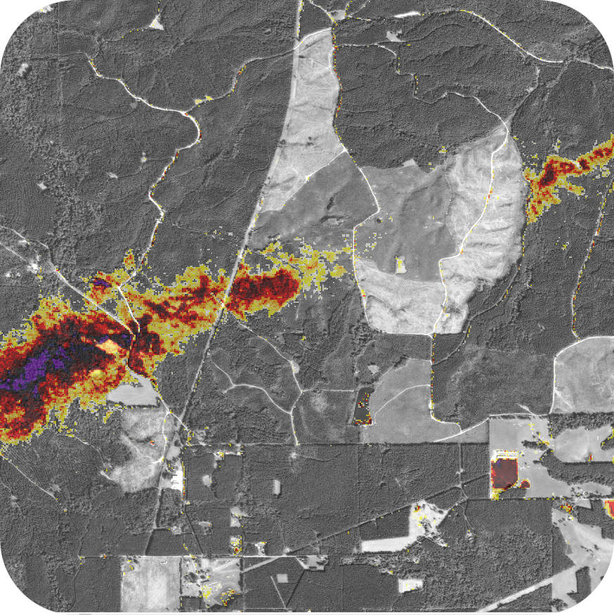
HiForm utilizes 10m Sentinel-2 and 30m Landsat 5, 8 and 9 and resampled 250m Sentinel 3 satellite imagery to produce NDVI change-over-time products. This research improves our understanding of forest dynamics across eastern US forests, in particular, that result from severe weather, wildland fire, harvesting, and insect defoliation and mortality. Eastern forest disturbance impacts can be challenging to monitor due to the forest's diverse and mixed species composition, dynamic seasonal phenology, fragmented management and ownership, and frequency of disturbance from multiple causes.