About
PRESENTATIONS
HiForm Introduction Webinar, William Christie, Steve Norman (2023), Forest Service, Region 9 Forest Health Protection. "Forest disturbance mapping using Google Earth Engine and 10m Sentinel-2"
HiForm Timber Harvest BMP Tool (version 2). William Christie, Steve Norman (TBD) Southern Group of State Foresters Water Resources and GIS Committees. "The HiForm Timber Harvest BMP Tool - Using Google Earth Engine to map timber harvest activity"
HiForm Timber Harvest BMP Tool (version 1). William Christie, Steve Norman (2023) Southern Group of State Foresters Water Resources Committee. "Using Google Earth Engine to map and track silvicultural activity"
Forest Service Science in Practice Webinar, Steve Norman, William Christie, William Hargrove (2020). "‘Viva la Révolution’ Mapping Forest Disturbances with Precision"
NEWS
See this June 2020 Compass Live article on HiForm by Lars Pomara: Satellite Mapping of Forest Disturbances Can Help When Field Efforts Are Restricted.
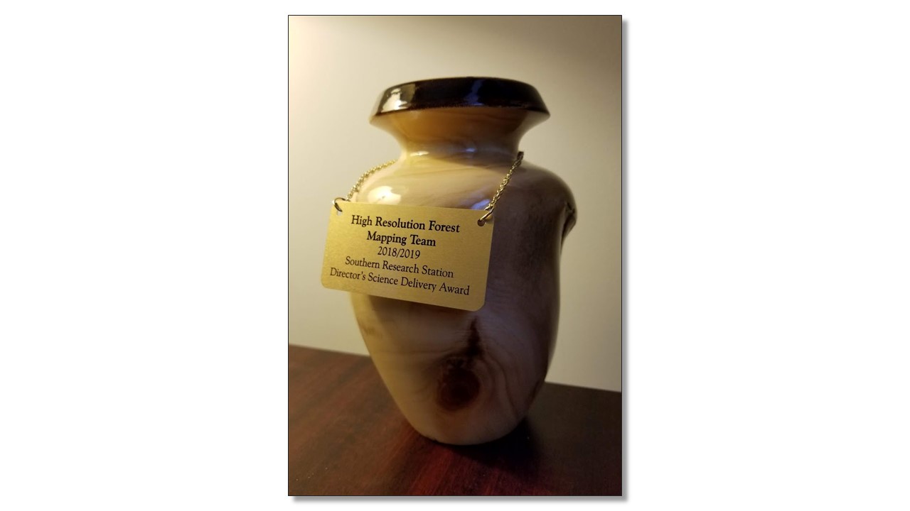
In 2019, the HiForm Team won the USDA Southern Research Station's 2018/2019 Science Delivery Award.